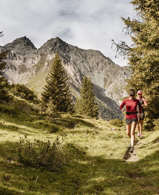


Running | Trailrunning
Trailrun - Freitzberg


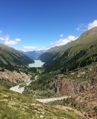
You start directly at the district of S. Cristina near Ried. The tour follows the village road to Steinbrücken, where a forest path branches off to the left and continues to Obertösens. The end point is the road towards Übersachsen. Follow the road to Übersachsen and then the tour turns into a forest path (Brandlsteig). This crosses a gorge and runs for a longer distance to Freitzberg. Afterwards the tour goes back down to the starting point via the normal access road.
tour1
713m
13.9km
Highest point
1486m
Start point
St. Christina
End point
St. Christina