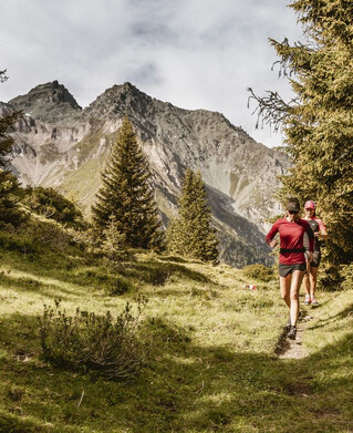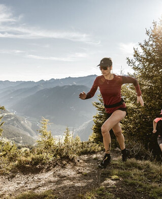


Running | Trailrunning
Trailrun - Platz - Gschneier


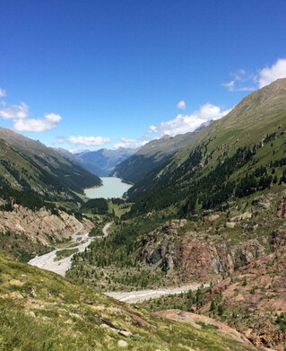
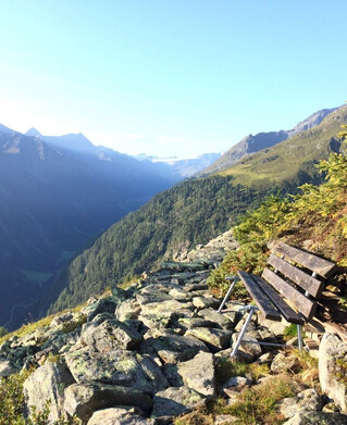
Follow the path through the Tscheywiesen in Pfunds meadows on a gentle gradient to Grupbach, then turn right towards Platzeralm. Follow the forest path in a steady ascent, after a few metres of altitude difference we reach a small camp & turning point "Stodl". There turn left onto a path, abbreviation Platzwiesen / Platzeralm, then follow this path through beautiful mountain meadows back to the road. Past the old mine ruins, to the beautifully alpine Platzeralm - a tip for a break! At the Platzeralm the path leads up to the right towards Lahnkopf. Follow this path in a pleasant gradient until you reach the Lahnkopf - highest point - don't forget the summit of Selfi. Then take the steep hairpin bends down to the Gschneier Alm- a good place to stop for a bite to eat! At the Gschnairalm follow the marked trail back to the starting point at Tscheylücke.
tour1
1041m
15.4km
Highest point
2549m
Start point
Tscheylücke Pfunds
End point
Tscheylücke Pfunds